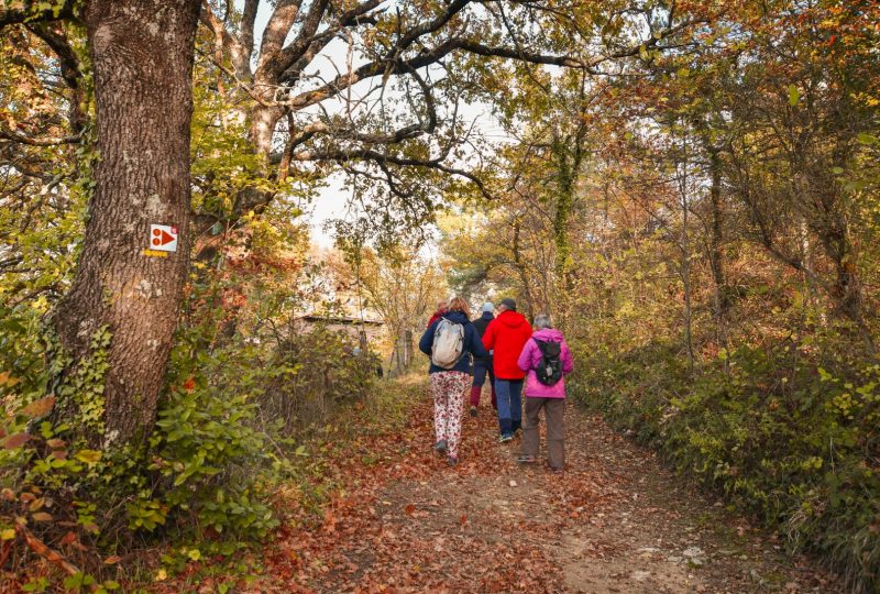
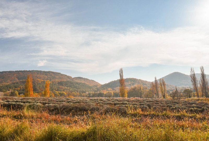
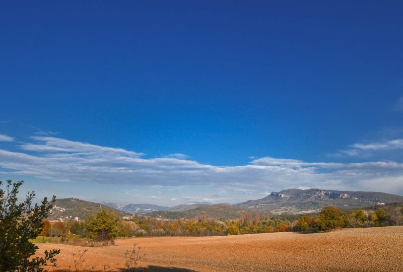
Enter into a splendid beech tree forest before reaching a crest overlooking the Valdaine plains.
Description
Starting point in the town centre.
Walk past the town hall and turn right opposite to the restaurant. Walk in Rue de la Forge then on Chemin de l'Allier. Turn left in the Alliers hamlet.
200 metres later, turn right on Chemin du Serre de Vinson.
Walk up to Chemin du Châtelard and turn right to the oil pipeline.
Continue straight and turn left at the junction.
Keep the forest track and keep right. Walk in the forest alongside the small river.
At the main turn, cross the tiny river and turn right straight after. The path climbs slowly and reach the crest on a forest path surrounded by pine trees.
Keep that track during 1 kilometre. At the end of the descend, turn left on a descending stoney path.
Turn right in a turn and climb. Keep right at the junction and follow the path.
Turn left at the junction and find back Chemin de l'Allier.
Go back to the starting point.
Spoken languages
- French
Activities
- Pedestrian sports
- Hiking itinerary
Rate
Situation
To see the spot on the map, you can fly over the altitude difference below.


