3
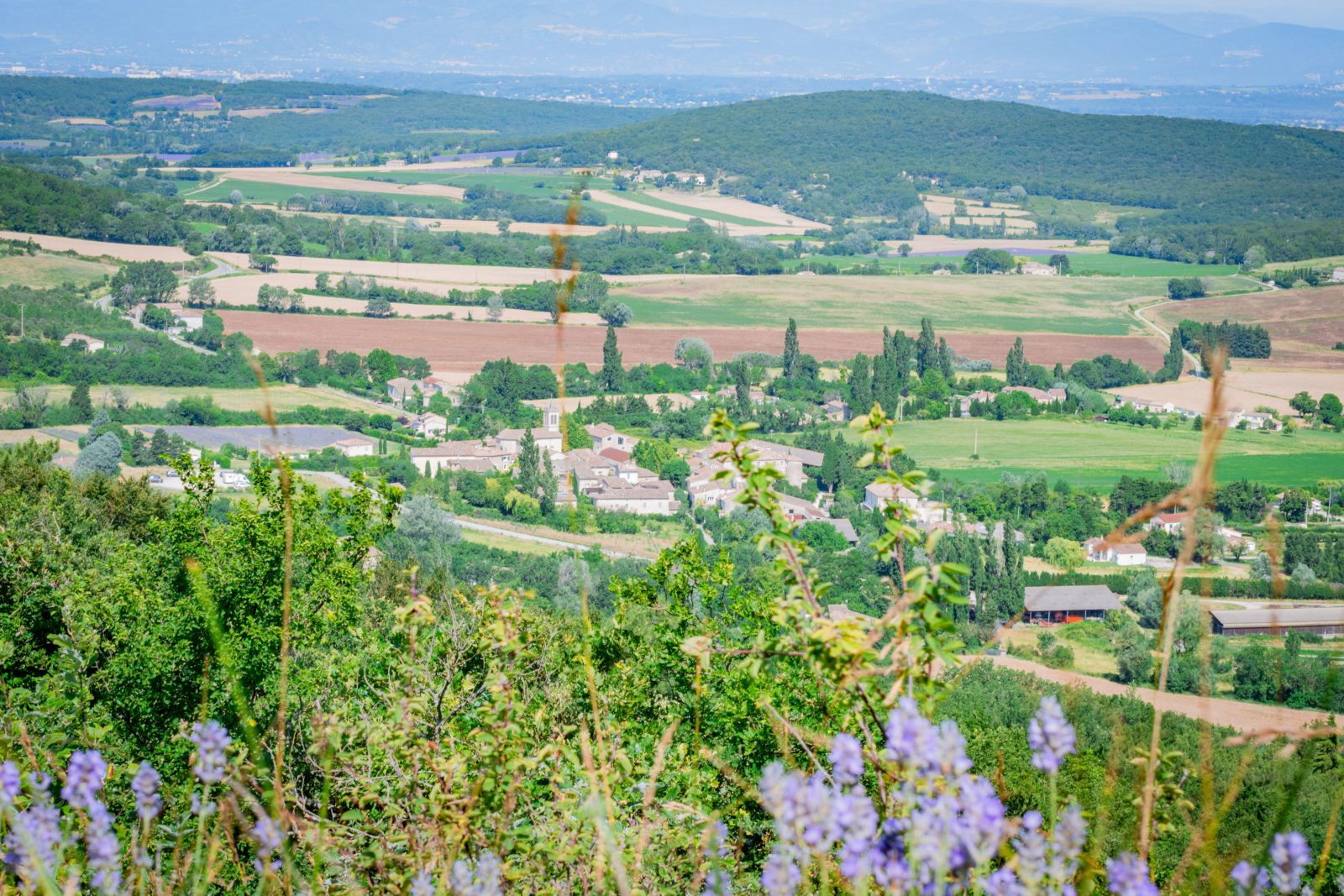
Enjoy the diverse landscapes when hiking! This itinerary leads you alongside the Citelle stream and follows the marks of the past. Tiny hamlets, water-mills, and lavender fields are not to be missed!
Description
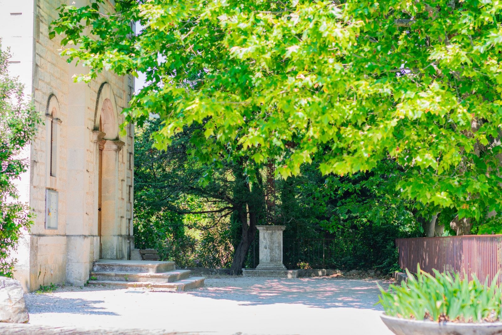
Park at the village car park located on the street next to the church, on the left.
Walk up Chemin de Marguerie before turning right on a tiny path surrounded by pine trees.
Keep that track and keep right before joining the forest path for a few meters. Turn left on a descending path that joins Moulin de Bay hemlet. Viewpoint on the Citelle valley.
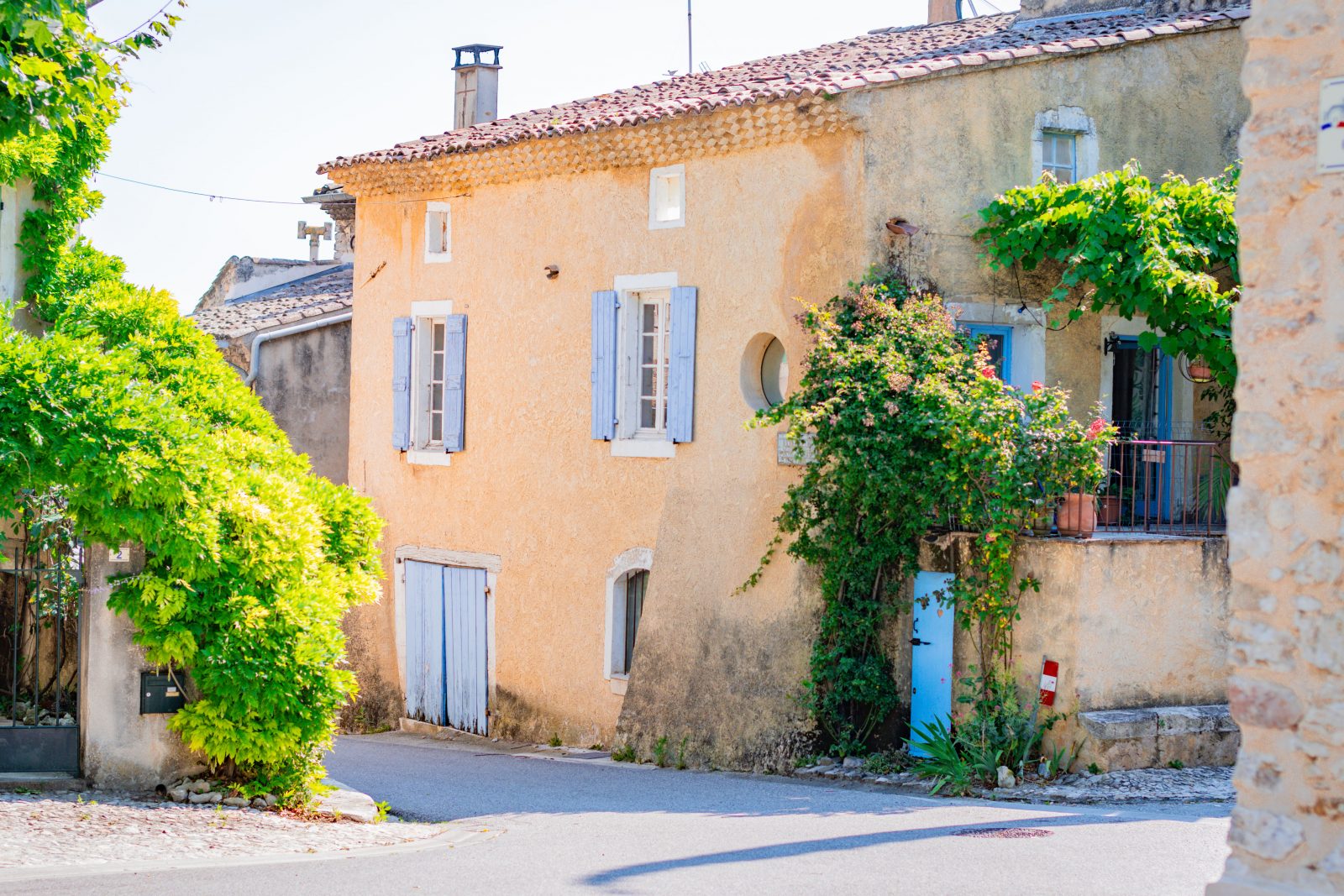
At the hamlet, turn left and walk alongside the stream during a few kilometers. Step over the stream thanks to footbridges. When reaching the Citelles hamlet, cross it by heading north. Join the climbing path that reaches a plateau full of lavender fields.
At the junction, bypasses the fields by the right then turn left to join the forest track.
Continue straight and keep right on the next "Y-shaped" junctions. The path descends and climbs up again until reaching Serre Pointu ridge. Turn left on the ridge.
Continue straight and cross the pipeline path to reach back the path. Turn right 500 metres further. You can spot it thanks to a tiny cairn on the grass.
The path descends towards La Touche. Viewpoint over the old village and the plains.
At the bottom, keep straight on Chemin de Chaix and get back to the starting point.
Spoken languages
- French
Activities
- Pedestrian sports
- Hiking itinerary
Rate
Situation
To see the spot on the map, you can fly over the altitude difference below.