2
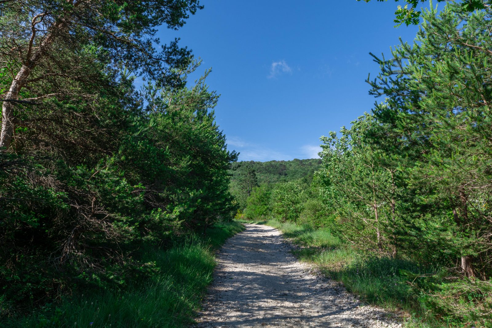
Wander in Jamot woods and enjoy the smell of pine trees and Provence colours.
Description
Starting point at the stadium car park.
Get to the inner town of Espeluche by a small path. Walk alongside the Boulevard de la République for a few metres then turn right before the school on Chemin des Hochette.
Turn left on Chemin du Clos and continue straight on Chemin du château d'eau. Walk up the path until reaching a small summit. Turn left at the junction. Continue straight and ignore the turns.
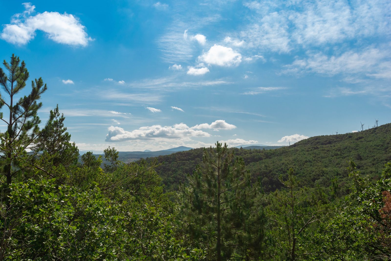
At the end of the path, follow the right curve and stay on the right. The path is slowly climbing up and joins up with a small track under pine trees. Viewpoint over Espeluche and Ardèche's mountains.
Continue straight at Moïse (alt 325m) pol, heading towards Chemin des Soldats. The climb is steep and stoney. At the pol, continue straight to L'Echinière (alt 358m). Follow the large forest track on the left. Turn left 500 meters later and follow the shadowy path which leads to another large track.
Turn left and turn right a hundrer metres later. Then left at the next junction. Get back to the forest track. Turn right at Chemin de Jamot pol and head towards Grel.
Turn left at the road and reach the small road on the other side.
Continue straight and follow Chemin du Gât. Just before the junction with another road, turn left on a grassy path. Take the footbridge and get back to the car park.
Spoken languages
- French
Labels and ranking
- Open air
Activities
- Pedestrian sports
- Hiking itinerary
Opening
Rate
Situation
To see the spot on the map, you can fly over the altitude difference below.
To see the spot on the map, you can fly over the altitude difference below.